Frames and borders in the photos are staging only: they are not printed.
Shipping 6–8 working days
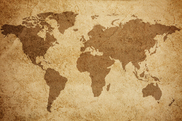
Crafted with delicate hand-drawn lines on aged parchment, this antique map of Europe presents a rich texture, with visible folds and marks of time that enhance its historical appeal. The intricate cartographic details reveal the contours of 17th-century Europe, adorned with illustrations of ships and sea creatures. It evokes a strong sense of exploration and discovery from an earlier era.
Canvas
·Historical maps ·SKU: GIA-1651334-canvas
Antique 17Th Century Europe Map
A detailed cartographic depiction of 17th-century Europe
–
Choose medium and size
2
Choose the size
Choose a size to see the real footprint
Made-to-measure fine art print, produced on the medium you pick above: choose a paper or a canvas to read its features.
Product details
LineaCanvas
CategoriaHistorical maps
StampaSu misura al centimetro, inchiostri certificati
Antique 17Th Century Europe Map on canvas
We print Antique 17Th Century Europe Map in the size you choose and stretch it by hand over an Italian wooden frame. The canvas is made when you order, so nothing is ever out of stock.
It arrives ready to hang, with nothing else to do. Made in our own Italian workshop, shipping in 6–8 working days.
- Stretched by hand over an Italian wooden frame
- Any size you like, not just standard formats
- Ready to hang the moment it arrives