
Fine Art historical maps
Planispheres, atlases and bird's-eye views from historical archives.
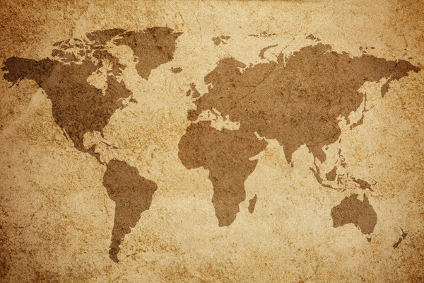
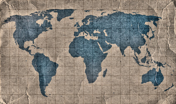
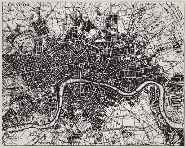
Historical maps are documents and graphic works at once: seventeenth-century Dutch planispheres, Renaissance globes, plans of Venice and Rome, Ottoman cartography, nineteenth-century bird's-eye views of Italian cities, celestial atlases. They come from the archives that digitised and released them at high resolution. In large formats the engraved line stays legible up close: a study wall, a library, a meeting room, a hotel entrance. Every subject is printed on demand in the size you choose, on fine art papers, aluminium or on stretched canvas.


Loading…