Frames and borders in the photos are staging only: they are not printed.
Shipping 4–6 working days
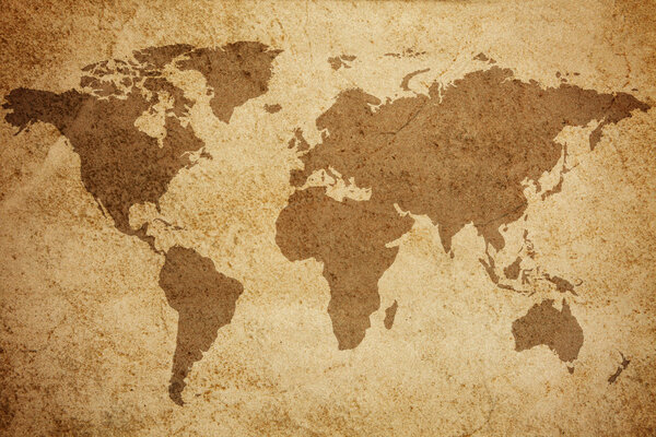
Rich sepia and warm brown tones define this map, creating a vintage aesthetic reminiscent of aged parchment. Landmasses and ancient sea routes are delicately outlined, inviting contemplation of historical voyages and distant shores. The subtle glow from the compass roses adds a touch of mystery, making this artwork a captivating piece that brings an explorer's spirit to any space.
Fine Art
·Historical maps ·SKU: GIA-1647109-print
Ancient Nautical Sea Routes Map
Ancient sea routes and lands on a parchment-like map
–
Choose medium and size
2
Choose the size
Choose a size to see the real footprint
Made-to-measure fine art print, produced on the medium you pick above: choose a paper or a canvas to read its features.
Product details
LineaFine Art
CategoriaHistorical maps
StampaSu misura al centimetro, inchiostri certificati
Ancient Nautical Sea Routes Map as a fine art print
We print Ancient Nautical Sea Routes Map in the size you choose, with no fixed formats to pick from. Printing starts when you order, so nothing is ever out of stock.
You choose the material above, from photo paper to rigid panels: it changes how the image reads and how you hang it. Made in our own Italian workshop, shipping in 4–6 working days.
- Any size you like, not just standard formats
- Photo paper or rigid panel, depending on how you want to hang it
- Printed in Italy after you order